
Every location. Every date. One spatial record.
Skylens Viewer connects 360° capture, timelines, 3D models, GIS and BIM so teams can revisit the site, compare change and act with context.
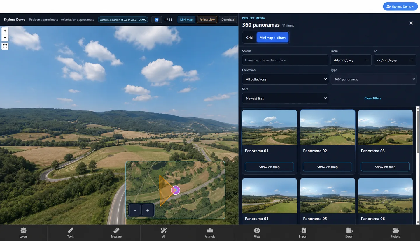
Return to any area, on any date
Move through a panoramic record instead of searching across disconnected folders and messages.
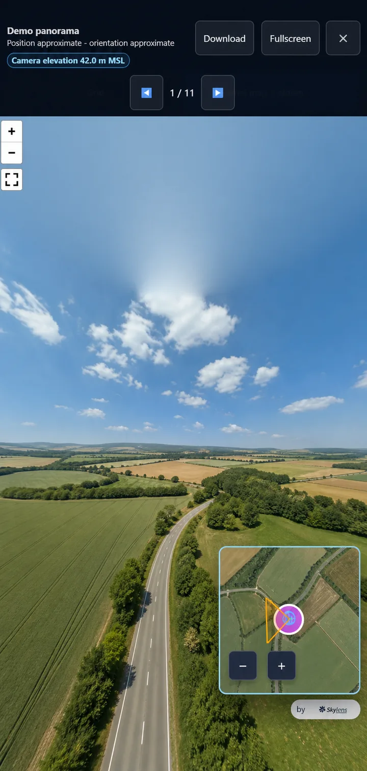
See what changed between visits
Recurring captures create a visual history that makes progress, concealed work and earlier conditions easier to review.
Measure and understand the site in spatial context
Photogrammetry, point clouds and 3D Tiles preserve geometry alongside the visual project record.
Connect field reality to plans
Bring project geometry, capture locations and planning layers into one spatial workflow.
From capture to action
Simple pricing per active site
Unlimited viewers and recurring 360° capture rounds in one dedicated project environment.
Two or more sites with a 12-month commitment: $95 per site, per month.
Practical questions
Does every viewer need a license?
No. The project includes unlimited viewers and one authorized client administrator for uploads.
Which 360° camera can we use?
A compatible camera can be selected around the site workflow. Existing suitable cameras may also be used.
How are captures uploaded?
An authorized client administrator uploads each capture to the dedicated project and associates it with its capture date.
How long is information retained?
Storage and retention are defined for the project during onboarding, including the agreed sharing and delivery policy.
Does this replace drone or LiDAR capture?
No. Routine 360° documentation complements professional drone, LiDAR, mapping and 3D services.
Can we share the project with consultants?
Yes. Authorized managers, supervisors and consultants can receive viewing access.
How is information protected?
Access is controlled at project level. Public, unlisted and protected sharing are handled separately from internal administration.